On Eagles Wings North Carolina, LLC
Construction
Drones have transformed the construction industry by revolutionizing progress tracking.
Utilizing 3D and 2D mapping technologies offers comprehensive insights and precise data, enabling informed decisions and efficient project advancement.
Elevate your construction projects with the power of drone mapping.
Time Lapse Progression
Transform Your Construction Projects with Drone Time-Lapse Videos!
Comprehensive documentation from start to finish
Effortless progress monitoring to stay on schedule
Engaging communication for investors and clients
Actionable insights for streamlined project management
Prioritized safety with real-time monitoring
Elevate your construction experience
Examples
Coming Soon!
2D Site Mapping
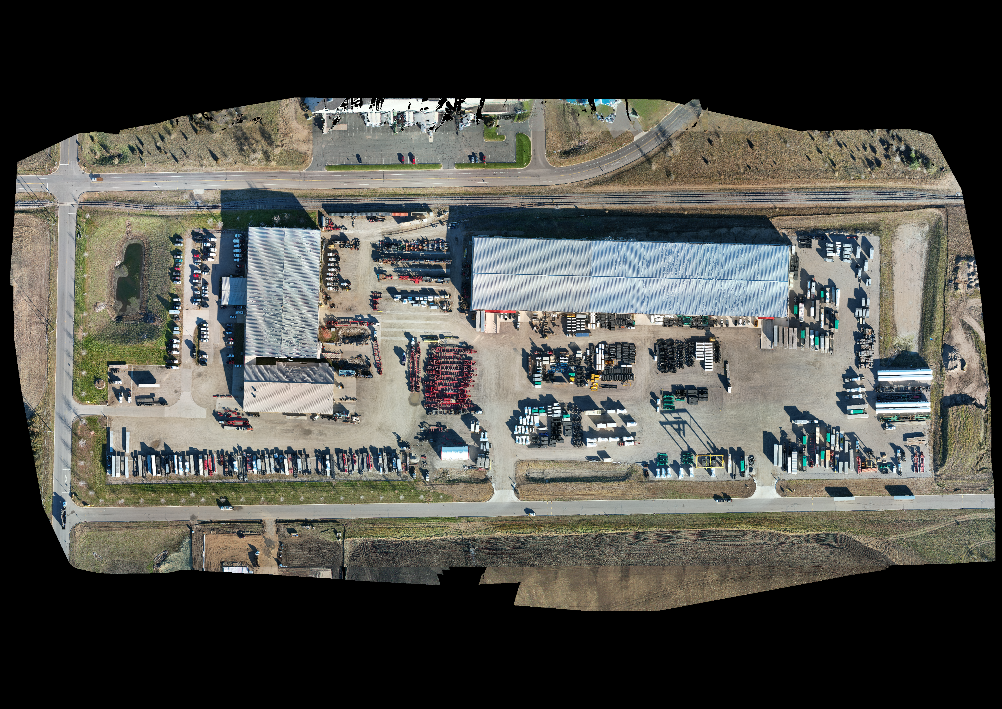
Unlock Efficiency and Precision with Drone 2D Mapping for Construction!
Revolutionize your construction projects with our cutting-edge drone 2D mapping services. Here's why you need us:
Rapid Site Surveys: Quickly assess terrain and structures with detailed 2D maps for efficient planning.
Seamless Progress Tracking: Stay on schedule by monitoring construction progress visually with regular mapping flights.
Informed Decision Making: Utilize data-driven insights for better resource allocation and obstacle identification.
Clear Communication: Communicate project status effectively to stakeholders with concise visual updates.
Enhanced Safety: Improve site safety with drone inspections, reaching hazardous areas without risk.
Cost and Time Savings: Save time and money compared to traditional surveying methods.

3D Site Mapping
Elevate Your Construction Projects with Drone 3D Mapping!
Accurate site visualization for better planning
Clash detection to prevent costly errors
Comprehensive progress monitoring for informed decisions
Enhanced communication and collaboration
Improved safety and risk management
Examples
Coming Soon!
Weekly/Monthly Progress Reports
Elevate Construction Management with Drone-Based Progress Reports!
Transparent updates for stakeholders
Evidence-based decision-making
Visual documentation of progress
Effective risk management
Quality assurance and performance tracking
Examples
Coming Soon!
Experience the future of construction management.
Contact us to elevate your projects today!
FAQS
How long does it typically take to receive the edited photos after a photo shoot?
We understand the importance of the swiftness of your business efficiency. Typically, you can expect to receive your edited photos within 24 to 48 hours after the photo shoot. However, this may vary slightly depending on the complexity of the project and the volume of images. Rest assured, we prioritize efficiency without compromising on quality.
Can I request specific shots or angles for the photography session?
Absolutely! We strongly encourage our clients to share their vision and specific shot requests with us. Prior to the photo shoot, our team conducts a thorough consultation to fully grasp your preferences and priorities. We are dedicated to customizing our photography services to align with your distinct requirements, guaranteeing that we capture the shots that hold the utmost significance for you.
What equipment and technology do you use for aerial and drone photography?
For our aerial and drone photography services, we utilize state-of-the-art drone equipment equipped with high-resolution cameras. These drones are operated by experienced and licensed drone pilots who adhere to all safety regulations. Our technology allows us to capture stunning aerial images and videos, showcasing your property from breathtaking angles. We are committed to delivering the highest quality aerial photography to make your listings stand out.
